The power of the correct grade
A property can look nearly flat and still send water in the wrong direction. A shallow depression collects runoff. A raised edge can trap it. A driveway, fence line, or old dirt pile can interrupt the route water needs to follow. Those small elevation differences can decide whether an area sheds surface water or stays muddy after rain.
Proper grading gives the ground a deliberate shape. It connects higher areas to lower collection points and suitable outlets, while keeping the property useful for its intended purpose. New dirt can be part of that correction, but the real improvement comes from where the material is placed and how the finished surface is shaped.
Why adding dirt alone can leave the same problem
Dumping dirt into a puddle may raise that one spot while creating another low area beside it. It can also block an existing flow path. A level-looking finish is not automatically a drainage finish: surface water needs a continuous fall toward somewhere it can go.
The work should begin with the full drainage route. Where does runoff enter? Where does it collect? What is the elevation of the intended outlet? Can that outlet receive the water? Without those answers, hauling more material may simply move the problem around.
Start by understanding the existing property
A site assessment should consider low spots, existing ditches and swales, roof runoff, driveway edges, nearby structures, retained trees, utilities, and adjoining ground. Photos taken during and after rain can help show flow patterns that are difficult to see on a dry day.
Elevation measurements are more reliable than judging slope by eye. The plan needs to work across the entire affected area, including transitions into existing ground. On a recreation area, a yard, or an equipment access route, the desired use also influences how the surface should be shaped.
What the photos show
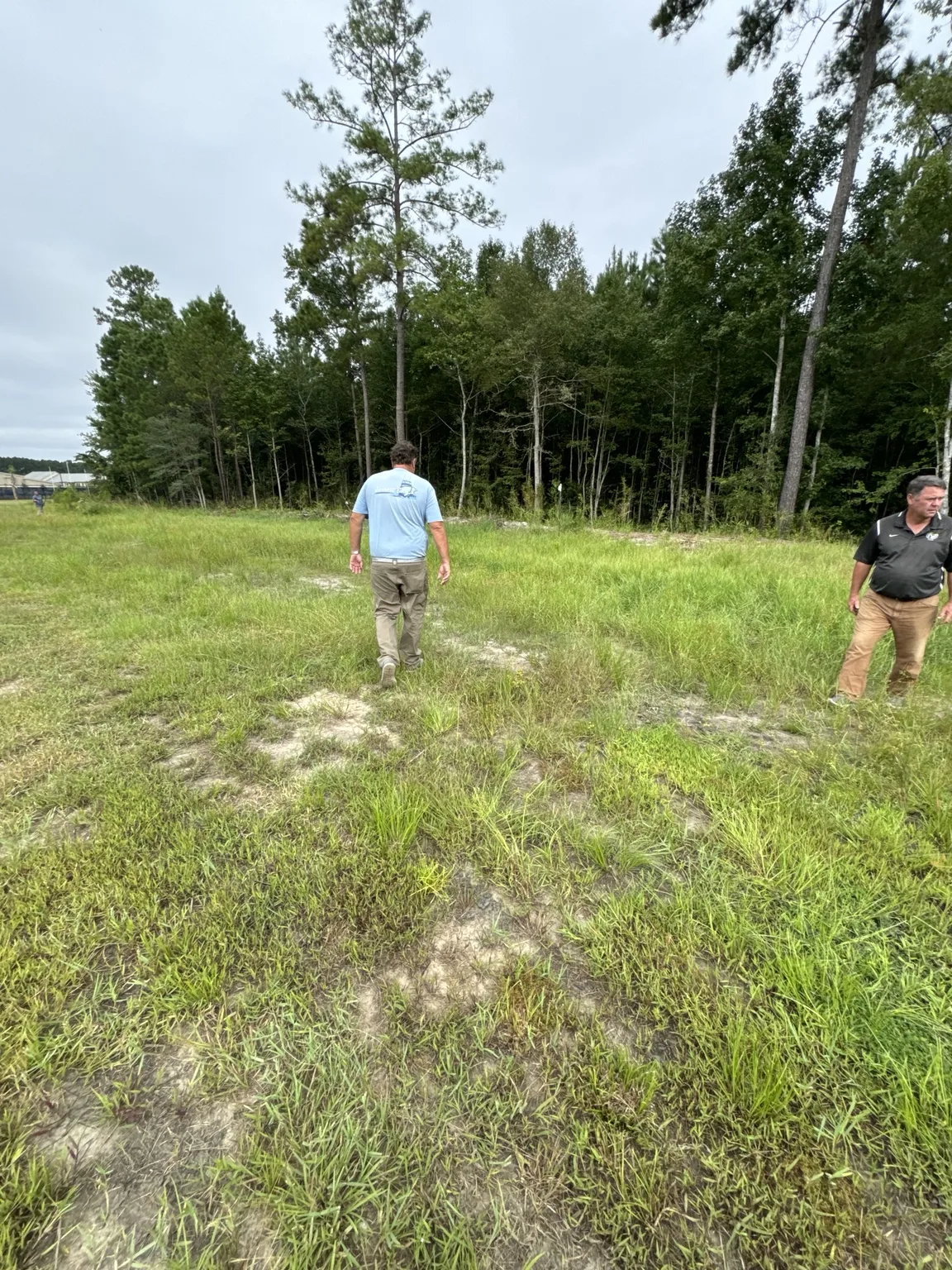
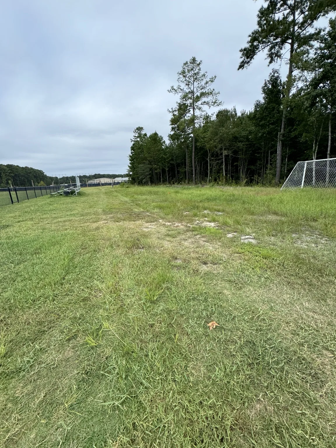
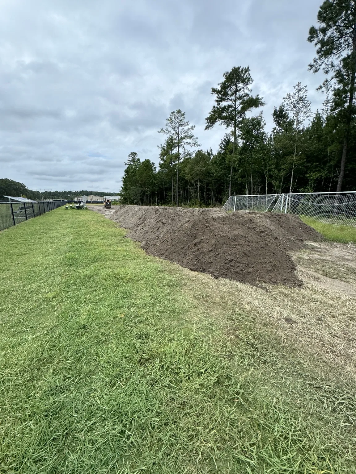
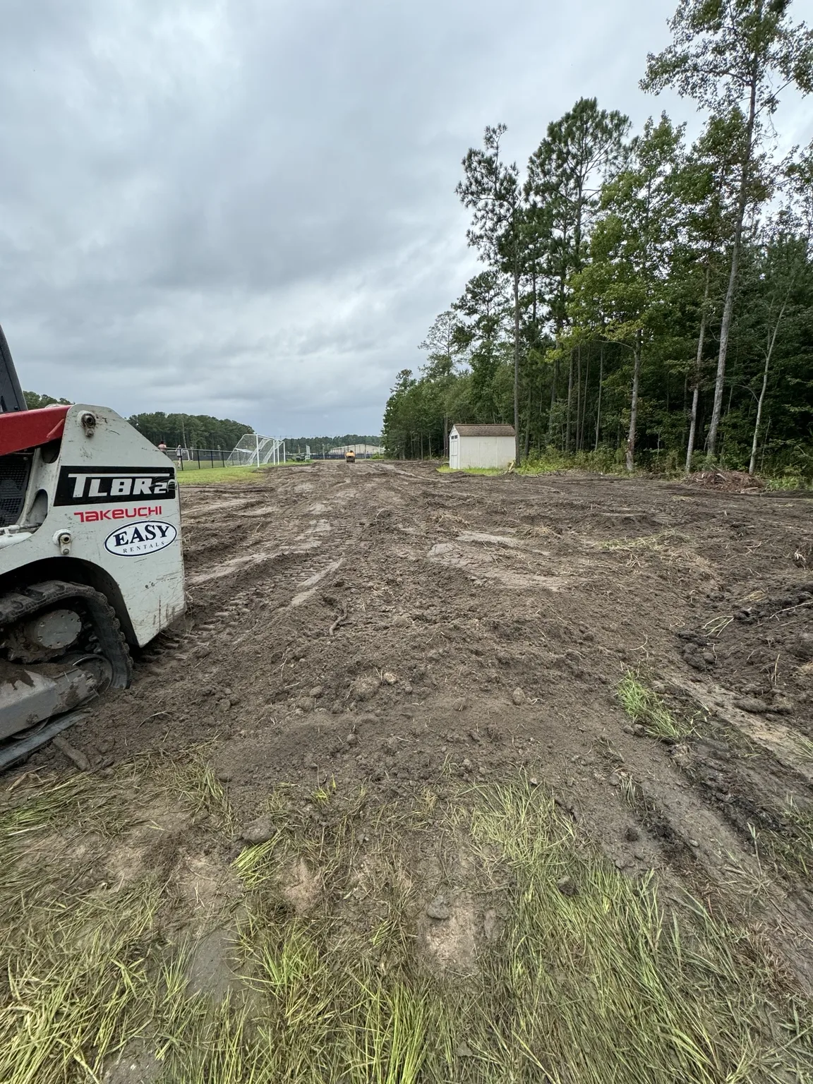
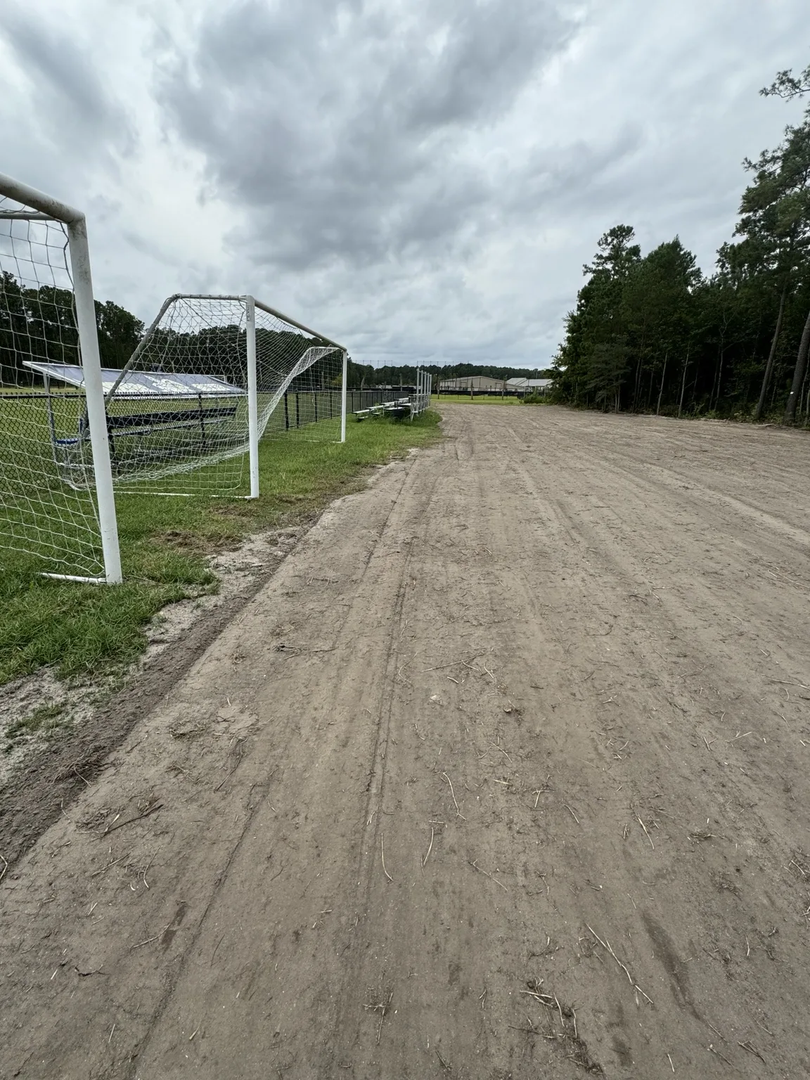
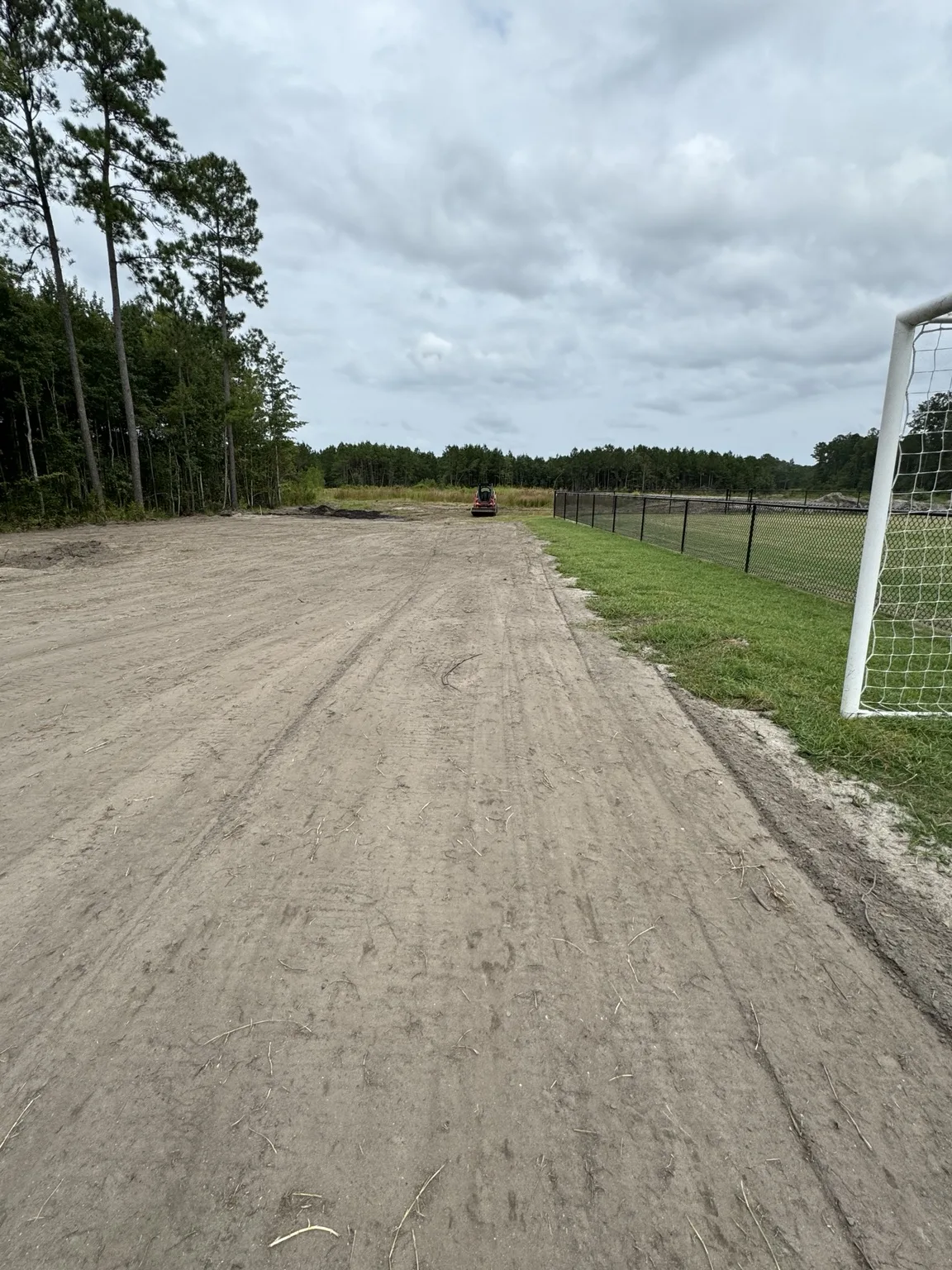
The photos supplied for this article show existing grassy ground, delivered dirt, equipment working the area, and a smoother graded surface beside a fenced recreation area. Together they illustrate the visible progression of an earthwork project.
A finished photograph cannot confirm drainage performance after rainfall, measured slope, soil testing, or compaction results. The value of the sequence is showing that the finish starts with evaluating the ground and handling material through several stages rather than simply dropping off a load of dirt.
Use new fill dirt where elevation needs to change
Imported fill can raise selected low areas and provide material for shaping transitions. Existing soil may also be redistributed where appropriate. The right combination depends on the elevations, the condition of the existing ground, and the intended finished use.
Material selection matters. Soil suitable for a lawn finish may not be appropriate as structural fill beneath a building or heavily loaded surface. Topsoil supports vegetation; suitable fill establishes the underlying shape. Roots, trash, and buried organic debris can lead to settlement and should be addressed in the earthwork scope.
Prepare the ground before spreading
Weak, saturated, or debris-filled ground needs attention before additional material is placed. Covering a soft area can hide the problem while leaving an unstable base underneath. Existing vegetation and topsoil may need to be stripped or managed according to the intended use.
Access and delivery routes should be planned too. Truck traffic and grading equipment need workable ground, and stockpiles should leave drainage routes open. Protecting retained features and locating utilities are part of preparing the work area.
Place, compact, and shape the material deliberately
Fill should be placed in manageable layers appropriate to the material, equipment, and project requirements. Moisture conditions affect how it handles and compacts. A thick pile pushed into place is different from material placed and worked in a controlled sequence.
Settlement can recreate low spots after a surface initially looks finished. For structural or engineered work, the required material, lift thickness, moisture range, and testing should follow the project specifications. A smooth surface or equipment tracks alone do not establish that those requirements have been met.
Create a continuous route for surface water
Good grading ties the corrected area into a drainage route. That may involve a broad shallow swale, a driveway crown, a shaped shoulder, or another site-specific arrangement. The aim is to remove isolated depressions and avoid raised edges that trap runoff.
The slope must fit the site and its use. Too little fall can leave water behind; an unnecessarily steep or poorly protected route can concentrate runoff and erode soil. There is no single grade that fits every yard, field, driveway, or building site. Finish elevations need to be selected for the actual conditions.
Where the water goes matters as much as where it starts
A drainage correction needs a suitable discharge or collection point. Raising one section of ground without considering adjoining land can shift runoff toward a building, a neighbor, or another vulnerable part of the property. Existing downstream restrictions can also prevent a new grade from performing as intended.
Some properties need more than surface grading. Persistent saturation, a high water table, inadequate outlets, or concentrated runoff may call for additional investigation and drainage features. A site-specific plan can determine whether swales, pipes, collection structures, or other measures belong in the scope.
A better grade can make more of your property usable
When a drainage problem is caused by surface shape and that shape is corrected appropriately, the improvement can reach beyond appearance. Areas may become easier to mow, walk across, maintain, or use for access. Water is less likely to remain in the same isolated depressions, and planned flow paths can reduce uncontrolled runoff across working areas.
For a homeowner, that can mean fewer muddy patches interrupting the yard. For a business or recreational property, it can mean more dependable access and a surface better suited to daily use. The goal is a property that works with rainfall rather than repeatedly collecting it in the wrong places.
Finish and stabilize the disturbed surface
Final grading should account for the finish that comes next. If topsoil, sod, seed, mulch, or another surface layer will be added, its thickness needs to be considered so it does not erase the drainage shape or create a lip at the edge.
Bare soil also needs stabilization appropriate to the site. Vegetation establishment and erosion protection help preserve the new surface. Newly worked ground should be observed after rainfall so settlement, blocked outlets, and areas needing adjustment can be identified early.
What affects the cost of drainage grading?
The affected area is only one part of the estimate. Costs also depend on the amount and type of imported material, delivery distance, access, existing ground conditions, removal of unsuitable material, equipment time, and the finished elevations. A small wet area with difficult access can require a different approach from a larger open area.
A complete proposal should clarify material delivery, preparation, placement, grading, compaction requirements, drainage features, cleanup, and surface stabilization. Comparing that scope helps avoid mistaking a dirt-delivery price for a complete drainage correction.
Questions property owners often ask
Can new dirt fix a wet yard? It can help when low elevations and poor surface grading are the cause, provided the corrected surface has a workable drainage route. It will not automatically solve groundwater or an inadequate outlet.
Does the property need to be perfectly level? Usually the useful goal is a smooth surface with a planned slope. Levelness and drainage are different requirements, and the correct balance depends on how the area will be used.
How much dirt will I need? That requires measurements of the affected area and the desired elevation change, plus allowances appropriate to the material and placement. Photographs alone are not enough for a reliable quantity.
How do I know the work is successful? Check the finished elevations against the plan and observe the area through rainfall. Drainage performance, stable ground, and the intended final use matter more than a smooth-looking photograph.
Plan your drainage and grading project with Jennings
Jennings Land Management provides grading, excavation, and site preparation for property owners in the South Carolina and Georgia Lowcountry. Whether your concern is a low yard, uneven ground, or a larger property improvement, the first step is understanding the source of the problem and the finish you need.
Send your property location, photos of the affected area, and details about where water collects. If possible, include photos after rainfall and explain what you want to use the ground for. That information helps start a practical conversation about dirt placement, grading, and the next steps for your site.
Explore our service areas and guide to land clearing and site preparation.
Grading and drainage near you
Explore the service information for your community, then send your location and photos to discuss the work.
- Beaufort, SC grading & drainage
- Bluffton, SC grading & drainage
- Ridgeland, SC grading & drainage
- Hardeeville, SC grading & drainage
- Okatie, SC grading & drainage
- Port Royal, SC grading & drainage
- Walterboro, SC grading & drainage
- Summerville, SC grading & drainage
- Savannah, GA grading & drainage
- Pooler, GA grading & drainage
- Richmond Hill, GA grading & drainage
- Statesboro, GA grading & drainage