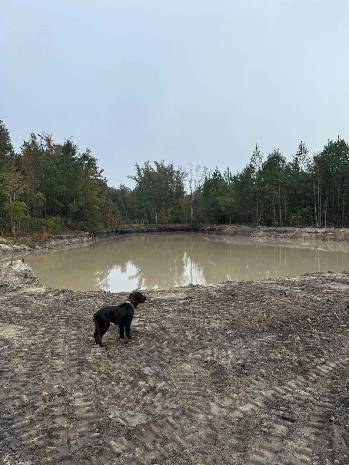
Separate the pond footprint from the full parcel
For a Hardeeville property, mark the pond excavation footprint rather than relying on the total acreage of the land. Show access and any surrounding area that needs clearing. Include the proposed depth and side-slope information from your plans if available; surface area alone does not describe the amount of excavation required.
Define excavation and material handling together
The proposed dimensions, depth, and side slopes help describe the excavation quantity. Equipment access, site conditions, and the destination of removed soil also affect the scope. If the work includes clearing or grading, identify those limits on the layout so each part of the project is understood.
Details for a Hardeeville pond estimate
Send the property address or map location and any available pond plans. Include:
- Marked pond footprint.
- Depth and slope information from plans.
- Clearing boundary around excavation.
Can pond dirt be used elsewhere on the property?
It can be discussed as part of the project, but suitability depends on the material and the intended use. Share the destination and any placement or grading requirements. Digging the pond and preparing another area with the excavated soil should each be included in the agreed scope.
Pond excavation in a documented project
Our 13-acre school project in Bluffton, SC included clearing and digging ponds. Excavated dirt was used to raise and grade a football field, with surrounding grading and a topsoil finish. See the photos and description of that specific project.
Planning comes before excavation
Pond function depends on site conditions and the project design, including soil and water supply. Share the available design and approval information when requesting work; an excavation estimate does not establish pond performance or approval to dig.
Explore our pond-digging overview and service-area directory, or discuss land clearing in Hardeeville if access or the pond footprint must be opened first.